Title
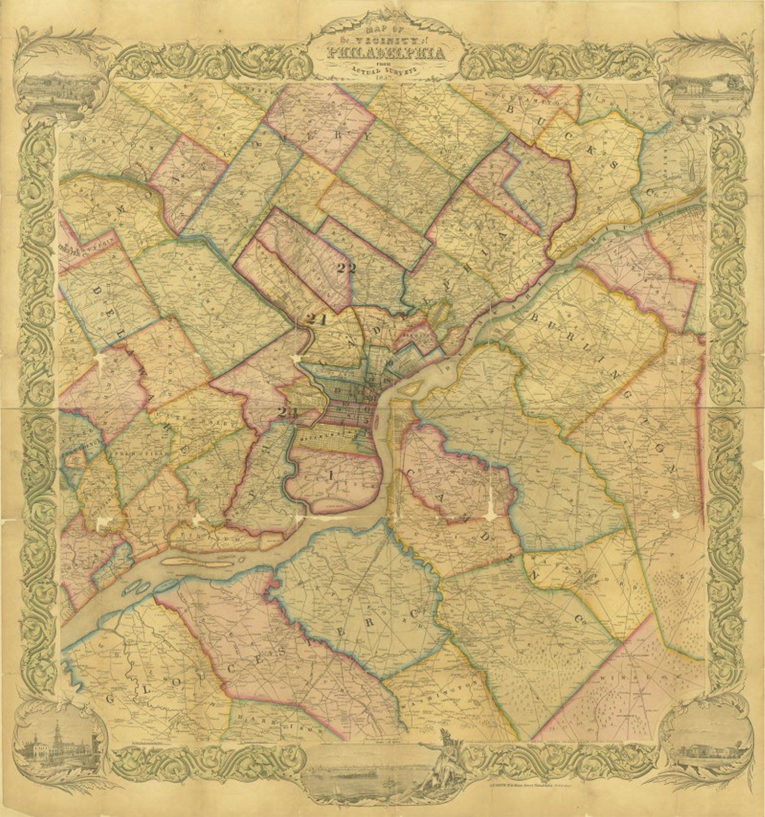
Map of the Vicinity of Philadelphia from actual surveys
Description
"This 2-section map shows Philadelphia and surrouding counties just prior to the 1854 consolidation. Counties and townships are marked along with the political wards ofhte City. Railroads, major roads, property lines and ownership are also shown."
Creator
R.P. Smith, publisher
Date
1853