Title
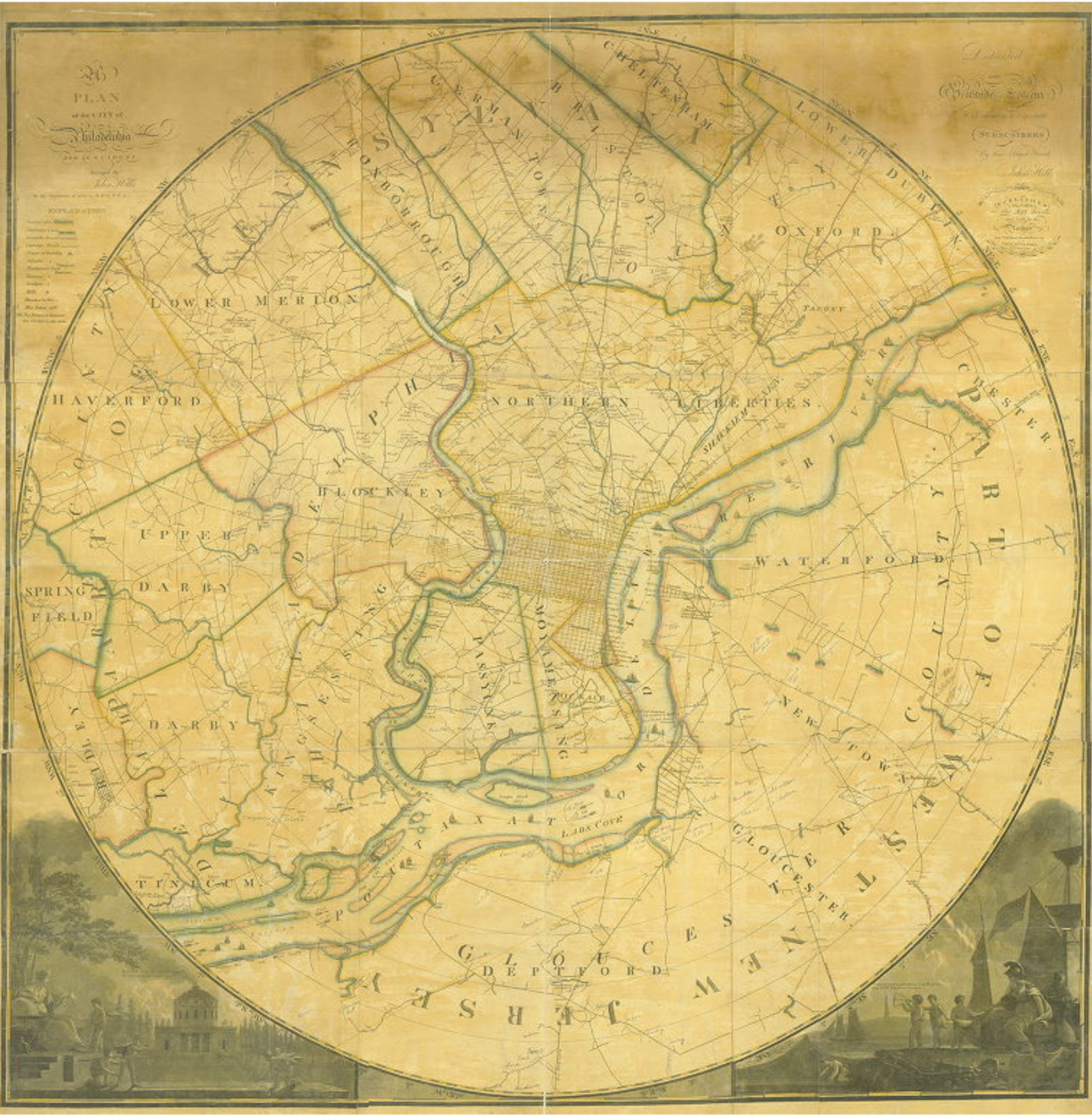
Plan of the City of Philadelphia and Environs
Description
"A radius map that goes 10 miles out from the Center of Philadelphia. Includes Oxford Township and a part of Lower Dublin Township in Northeast Philadelphia. The map shows neighborhoods, property owners, houses of note, county and township lines and carriage roads, includes numerous handwritten annotations. Accompanying the map is a Photostat of the Oxford - Lower Dublin Township Section with numerous additional property owner notes."
Creator
John Hills
Date
1808